
Hello, my name is
Md Kamrul Islam
Geospatial Data Analyst, Environmental Scientist
- kamrulgspatial@gmail.com
- 419-378-7794
About me
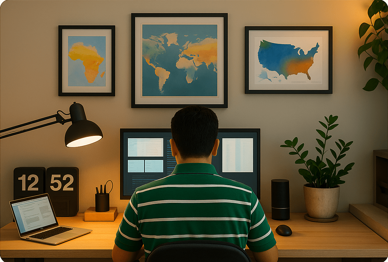
I am a passionate geospatial data scientist focused on environmental pollution and public health research
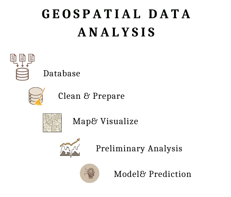
I have spent most of these years working with diverse geospatial and remote sensing datasets — including high-resolution imagery from WorldView-3, multispectral data from Landsat, and nightlight and environmental indicators from VIIRS. My work spans land use classification, environmental pollution modeling, public health exposure mapping, and spatial-temporal change detection. Having applied these datasets across multiple real-world research projects, I offer flexible, data-driven insights tailored to specific environmental and health challenges. You’ll always have a range of mapping and analytical options to move forward with — not just one-size-fits-all solutions.
What I do
Database Development
Can Handle Geospatial Data Using Python Code & Geospatial Software
Geospatial Web Development
-- Website Building -- ArcGIS Online -- Story map
Statistics & Machine Learning
Model & Predict geospatial trend, pollution exposure & public health
Skills
My Experience
2022-Current
University Of Michigan
Research Analyst (Geospatial & Statistics )
My role involves spatial modeling, exposure assessment, geocoding, and the integration and preparation of geospatial databases to support public health research. I also actively contribute to scientific publications and manuscript writing, translating complex geospatial analyses into impactful research findings.
2021-2022
Bowling Green State University
Teaching AssitanT
As a Teaching Assistant at Bowling Green State University, I supported undergraduate and graduate-level courses in GIS and remote sensing. My responsibilities included leading lab sessions, assisting with coursework, and providing one-on-one guidance to students on geospatial tools and techniques
2021-2022 ( Summer Time)
Bowling Green State University
Research Assitant
As a Research Assistant at BGSU’s School of Earth, Environment, and Society, I worked on a water quality monitoring project funded by AmericaView/USGS. My role focused on using remote sensing techniques to analyze surface water conditions and assess environmental changes over time